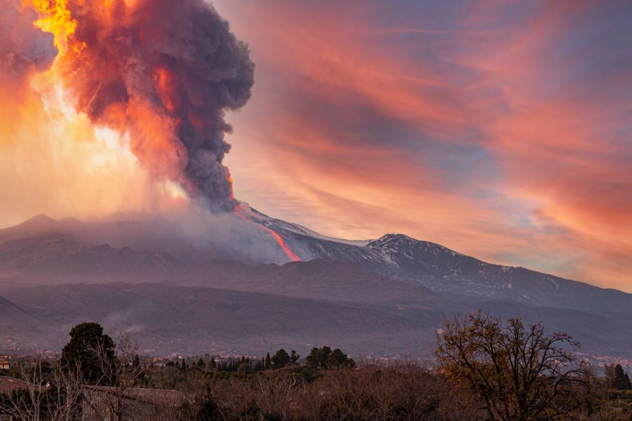
(Alanstix64 / Shutterstock.com)
Trees are the earth’s lungs—taking in carbon dioxide from the atmosphere and releasing oxygen. They are vital to the planet’s entire ecological system.
Now, scientists from NASA and the Smithsonian are collaborating on yet another way in which trees can help humanity, reported SciTechDaily. As it turns out, tracking the color of the foliage of trees near active volcanoes via satellites can serve as an early warning for eruptions.
Monitoring Trees From Space
Early detection of volcanic eruptions has always been a challenge. Traditionally volcanologists have relied on detecting seismic activity, ground deformations, and gas emissions to try and catch an eruption before it erupts. In addition, scientists have also long known that volcanoes release carbon dioxide as magma rises up from below the surface.
However, according to a NASA press release, monitoring that carbon dioxide is a tricky matter. Many active volcanic sites are in remote and difficult to reach mountainous locations, making monitoring them labor intensive, expensive, and sometimes dangerous.
Scientists have long known that changing tree leaves near active volcano sites could be an early sign of a coming eruption. Trees that capture the carbon dioxide released by the magma become more green and more robust, and they can be monitored from space.
“The whole idea is to find something that we could measure instead of carbon dioxide directly to give us a proxy to detect changes in volcano emissions,” Dr. Robert Bogue, a volcanist from McGill University said in the press release.
In order to take these measurements, NASA joined up with the Smithsonian, using NASA satellites and airborne instruments that are part of the Smithsonian’s Airborne Validation Unified Experiment: Land to Ocean (AVUELO). The images and spectrographic information from those tools allows them to get a better picture, literally, of the areas around active volcanoes.
Some Limits
Still, monitoring foliage is not always possible. Some volcanoes are in areas with not enough trees for satellites to image, and fires, plant diseases, and weather conditions can make it difficult to analyze the data provided by the images.
However, monitoring carbon dioxide has already been proven useful. According to the Smithsonian’s Global Volcanism Program report, in 2017, government employees in the Philippines used a carbon dioxide detecting system to detect the signs of a coming eruption. They were then able to evacuate over 56,000 people before the volcano erupted in January of 2018, thus saving scores of lives.
So it is clear that monitoring carbon dioxide levels around volcanoes is a sound method for tracking potential volcanic eruptions. Now, thanks to the collaboration between NASA and the Smithsonian, this method can become even more accurate and more efficient, hopefully saving even more precious lives.
YOU MIGHT ALSO LIKE:
Musical Dynamics May Help Predict Volcanic Eruptions
Lava Might Be The Stuff Tomorrow’s Homes Are Made Of!
Iceland's Year-Round Greenhouses Are Powered by Volcanoes


